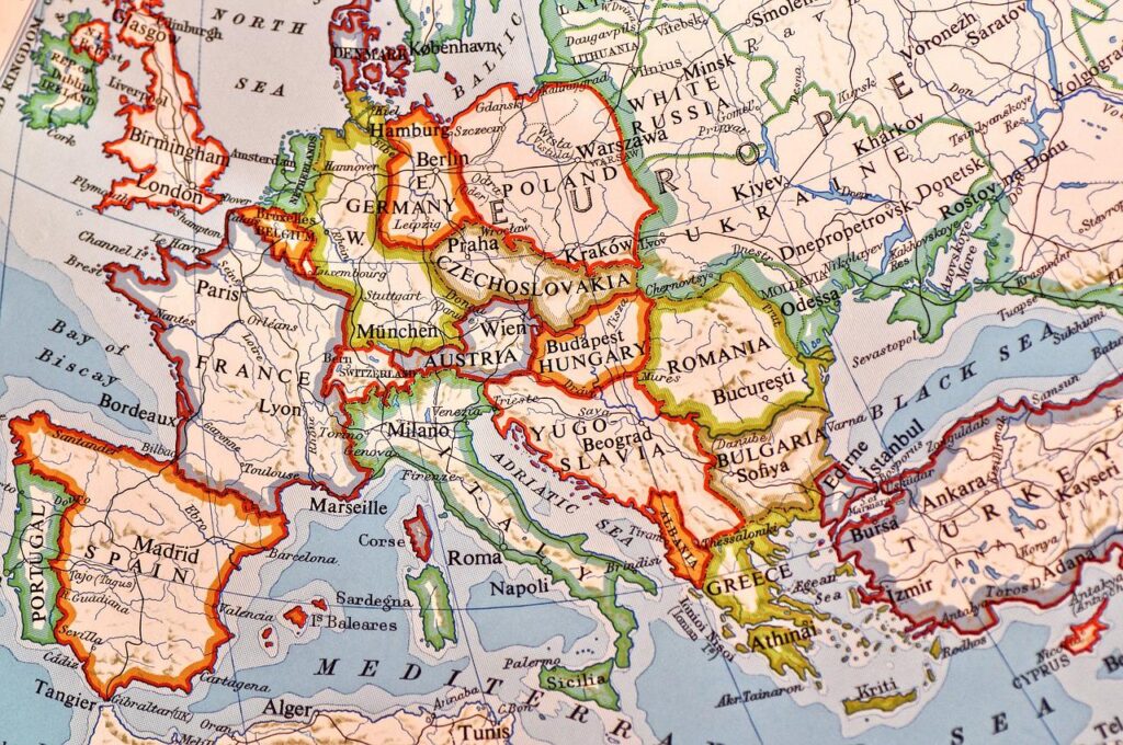
Remote sensing is the art and science of making measurements of the earth using sensors on airplanes or satellites. These sensors collect data in the form of images and provide specialized capabilities for manipulating, analyzing, and visualizing those images. Remote sensed imagery is integrated within a GIS. A geographic information system (GIS) is a computer-based tool for mapping and analyzing feature events on earth. GIS technology integrates common database operations, such as query and statistical analysis, with maps.
This course introduces students to find out how pictures of the earth’s surface are recorded from aircraft and satellites and different ways these images can be analyzed. Students gain an understanding of “common” Remote Sensing products such as earth resources, satellite images, aerial photographs as well as more sophisticated research tools such as RADAR and multispectral scanner systems. In this course via field trips opportunity is provided to assess the usefulness of different types and scales of remotely sensed data via on the ground comparisons. Basic map reading skills required for Remote Sensing projects are also covered.
Market Value
The average salary after BS in GIS and remote sensing in Pakistan is PKR 320,604 per year or PKR 26,717per month. Entry level positions start at PKR 26,000 per month while most experienced workers make up to PKR 150,000 per month at a reputable university after the Ph.D.
Admission Criteria
1. Intermediate with Science or Equivalent with Mathematics at that level.
2. All those students who have not taken mathematics course at Intermediate level will have to take “prescribed mathematics” as non- credit course.
Career Path:
First thing first!!!!
Eligibility |
Selection Criteria |
| F.Sc / Equivalent | Academic Qualification 50% Test/Interview:50% |
B.S. GIS AND REMOTE SENSING: Course Highlights
Course Level |
Duration of the Course |
Examination Type |
Credit hours |
| Under Graduate | 4 years (8 semesters) | Semester-Wise | 127+ credit hours courses including final project. |
Driving institutions:
Institution |
City |
| Bahria University ( Karachi Campus ) | Karachi |
Undergraduate
Pakistan Space & Upper Atmosphere Research Commission (SUPARCO) is committed to the peaceful uses of space & space technologies. It has been pursuing Satellite Remote Sensing (SRS) & Geographic Information System (GIS) application programs for the past 30 years. Remote Sensing along with its allied technologies has become an industry in itself. SUPARCO is the pioneer in introducing these technologies in Pakistan using Satellite Remote Sensing and GIS techniques. Turnkey solutions and services are provided to different users in varied disciplines fields including but not limited to the following: Agriculture, Forestry, Landuse / Landcover, Water Resources, Coastal and Marine Applications, Image Acquisition and Processing, Surveying and Vehicle Tracking & Navigation.
Related job fields
- Assistant Manager GIS
- GIS Analyst
- Remote Sensing Analyst
- GIS Specialist
- GIS Officer
- Research scientist
- Higher education lecturer
- Management consultant
- Nuclear engineer
- Radiation protection practitioner
- Science writer
- Secondary school teacher
Work description
- Exploit the potentials of space technologies for natural resource surveying and environmental monitoring
- Execute application projects of national significance
- Transfer technology to users in public and private sectors
- Impart Remote Sensing and GIS training to potential user
Pros
- Good salary prospects
- Suitable for people who likes to solve problems mentally
- Suitable for people who values achievements and are results oriented
- This career is perfect for people who love to work indoors.
- Very high salary (top 25% highest paid careers)
- Normal working hours (40 hours per week)
Cons
- Not suitable for people who likes to help and teach others
- It is hard to get into this career. A considerable amount of work related skill, knowledge, or experience is required for this career.
CONTENT CURRICULUM POWERED BY UNIDESK

